
1. Begin by downloading the sample file named “VO-AutoGenerateSubcatchments” from the official website.
VO-AutoGenerateSubcatchment.part1
VO-AutoGenerateSubcatchment.part2
VO-AutoGenerateSubcatchment.part3
VO-AutoGenerateSubcatchment.part4
2. Open the VO software on your computer.
3. Click on the “Map” tab to access the map-related functionalities within the software.
4. To import the DEM file of your specific case study, navigate to the “GIS Tools” menu and select “Add Layer”.
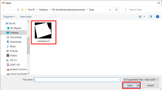
5. Locate the downloaded file on your computer and open the “Data” folder.
6. Select the “feilddem.tif” file and click “Open” to import the DEM file into the Map tab.

Note: VO supports various file formats, including Access Files, AutoCAD DWG, AutoCAD DXF, Dataset, GeoJSON, Shape Files, and Image Files.