
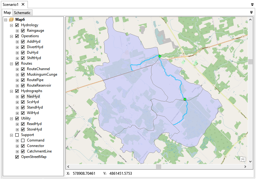
There are three components in the map view:
- Table of Content – A tree view of all GIS layers. It controls the appearance of the layers.
- Map – The main working space to display and edit hydrologic objects. The features can be created, edited and selected.
- Status Bar – Showing the coordinates.
Copyright © 2025 Smart City Water
—
Powered by 