
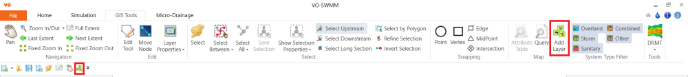
Click the Add Layer button either from the GIS tab or from the Quick Access Toolbar.
In the pop-up window, select the DEM file “satellite_photo.tif” and click Open to add the DEM file to the map layer.

The map will be displayed with satellite photo.

Copyright © 2025 Smart City Water
—
Powered by 