
Add Layers
- Click Add Layer button
![]() to add GIS layer. In the pop-up window, navigate to and select the GIS files to be added to the map. The layer to be added can be a vector GIS file or a raster file like Digital Elevation Model (DEM).
to add GIS layer. In the pop-up window, navigate to and select the GIS files to be added to the map. The layer to be added can be a vector GIS file or a raster file like Digital Elevation Model (DEM).
 to add GIS layer. In the pop-up window, navigate to and select the GIS files to be added to the map. The layer to be added can be a vector GIS file or a raster file like Digital Elevation Model (DEM).
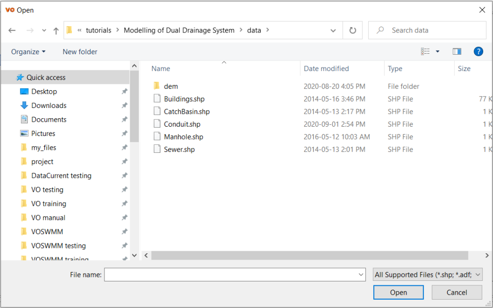
Query
- Use the Query tool
![]() to search objects based on user-defined conditions. For details, please refer to GIS – Query
to search objects based on user-defined conditions. For details, please refer to GIS – Query
 to search objects based on user-defined conditions. For details, please refer to
 Attribute Table
- Click Attribute Table
![]() to open the attributes table of selected layer.
to open the attributes table of selected layer.
 to open the attributes table of selected layer.
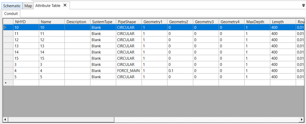
Copyright © 2025 Smart City Water
—
Powered by 