
Prepare the Reverse Slope Driveway Layer
Add the Catch Basin layer to the model using the Add Layer option in the GIS tool.
Run Reverse Slope Driveway Analysis
In the Reverse Slope Driveway Tab:
- Check Update to enable analysis.
- Select the Catch Basin layer.
- Choose a field as the Field to Set.
- Set the Surcharge Level to 0.15 m (City of Toronto standard).
Recalculate and View Results
Click Run to execute the Reverse Slope Driveway analysis.
The analysis assigns results to the selected field in the Catch Basin layer.
To update the model visualization:
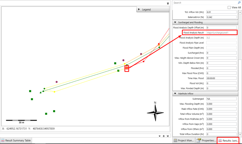
Check Update node and link symbols with results of Surcharge and Flooding Analysis.
Revisit the Results Tab under Surcharge and Flooding to see updated Flood Analysis Results.
Copyright © 2025 Smart City Water
—
Powered by 