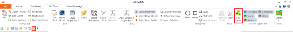
To add the DEM file, click the Add Layer button either from the GIS tab or from the Quick Access Toolbar.
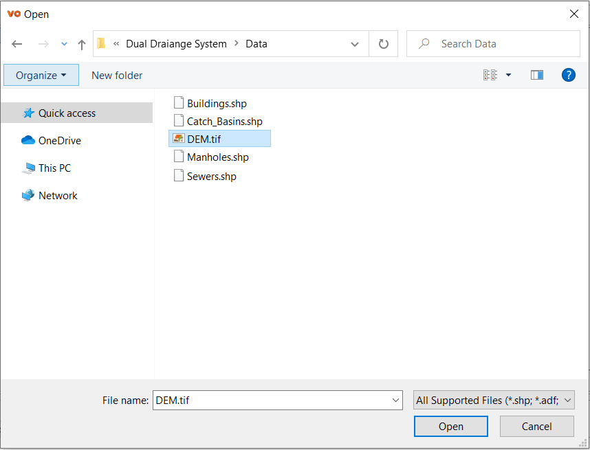
In the pop-up window, select the DEM file “…\Dual Draiange System\Data\DEM.tif” and click Open to add the DEM file to the map layer.
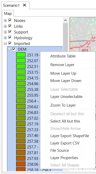
The DEM will be shown under the Imported group in the map layer table. Right-click on the layer “DEM” to open the context menu and click Zoom To Layer.
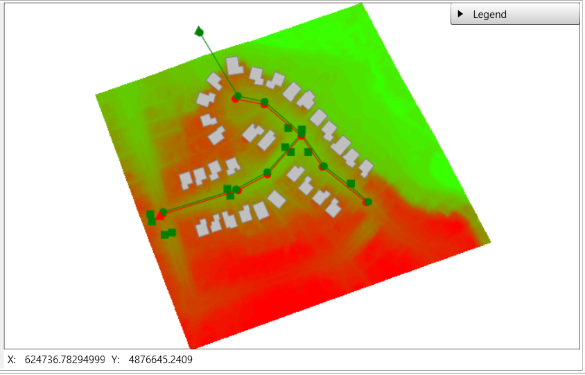
The map will display as below.
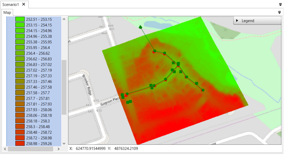
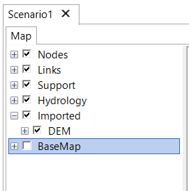
Close the layer expansion of the DEM. Uncheck the layer BaseMap to turn off the base map.
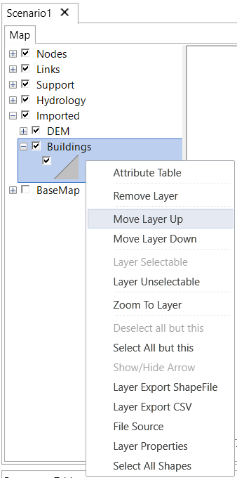
Following the same way, use the Add Layer tool  to add the shapefile of the building layer “…\Dual Draiange System\Data\Buildings.shp”. In order to move the building layer above the DEM, right-click the layer “Buildings” and select Move Layer Up.
The map will display as below: