
Following the same way as importing sewer manhole and pipe, import catch basin by setting the Import Required Layer window as below. The Input Source is “…\Data\Catch_Basins.shp” and the mapping file is “…\Data\CatchBasin.mapcatchbasin”.

Close the Import Required Layer window. The map will show as below.
- To Zoom In and Zoom Out the map, scroll mouse wheel.
- To move the map, there are two ways. The first way is to use the Pan tool
![]() , which can be found from the GIS tab or the Quick Access Toolbar. The second way is to hold the mouse wheel to change the mouse cursor to the Pan mode.
, which can be found from the GIS tab or the Quick Access Toolbar. The second way is to hold the mouse wheel to change the mouse cursor to the Pan mode.
 , which can be found from the GIS tab or the Quick Access Toolbar. The second way is to hold the mouse wheel to change the mouse cursor to the Pan mode.
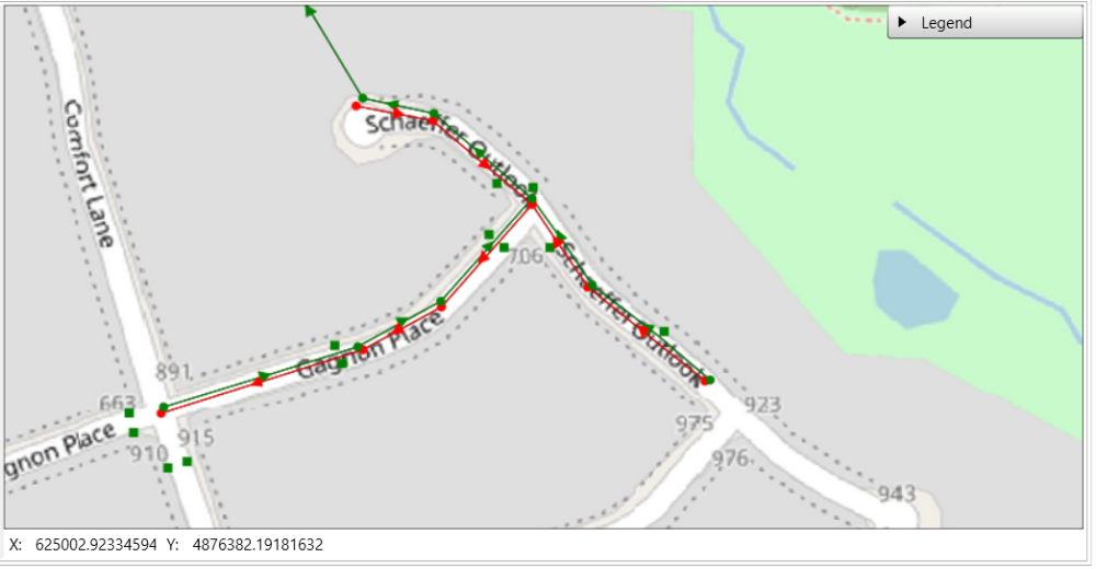
If the locations of the manholes, pipes or catch basins are not the same as the in the figure below, please check and change the coordinate system using Layer Properties.
Copyright © 2025 Smart City Water
—
Powered by 