
Beginning in version 4.0, MapAnalyzer supports interactive editing of shapefiles. Editing can be done by multiple users while the shapefile is open by other sessions, however some changes may not be immediately visible to all users until a new session is started. MapAnalyzer is designed to be the primary parcel layer editor, although all vector layers can be edited in the system.
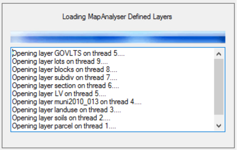
When opening MapAnalyzer an update box will show the progress of opening the application.
Feedback
Copyright © 2025 LandMark GSI
—
Powered by 
Post your comment on this topic.