
The Map Legal verifies rural legal description by using rectangular survey data, users can input the legal description to verify or find a parcel on the map.
Please refer to “MapAnalyzer Editor Preferences under vertex options and see that “Use COGO for Split or Add” is selected and the Section layer is chosen, otherwise Map Legal will not work.
In MapAnalyzer go to
Tools — Map Legal
SELECT a section layer. If the zoom to legal box is check, the map will zoom to the legal.
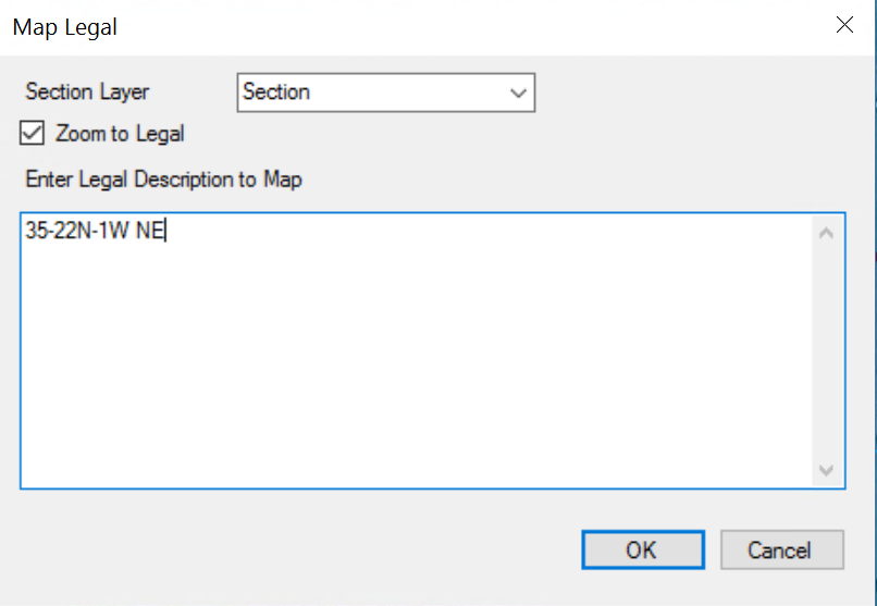
ALWAYS start the legal with the Section, Township and Range, then SPACE, and a rectangular survey.
Ex: 35-22N-1W NE
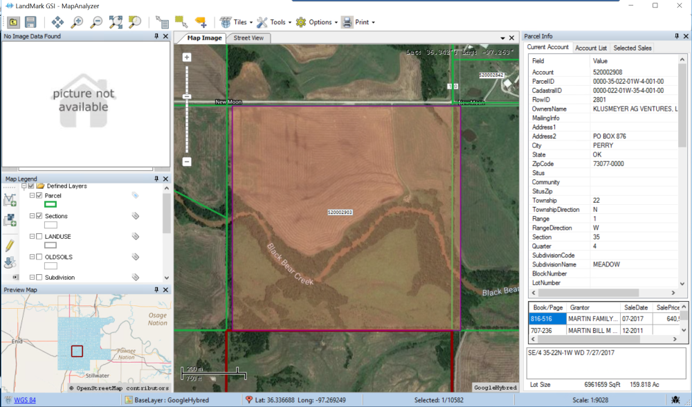
A polygon is then created that represents the legal description.
These inputs also work for adding a parcel or splitting a parcel by COGO.
Users can also open the map in Edit Mode and map around the boundaries of the mapped legal.
To clear the Legal
SELECT Tool — Clear Legal
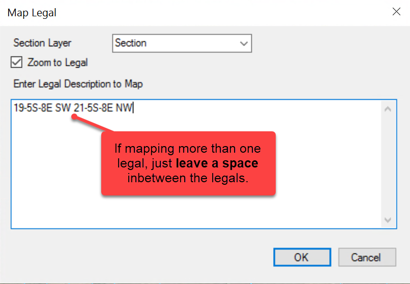
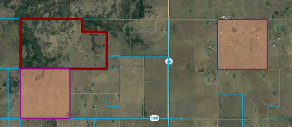
Users may add multiple sections and quarters.
Tips on Entering Legals:
Quarters must be written as follows:
- NE
- NW
- SW
- SW
This will not work:
- NE1/4 NW1/4 SW1/4 SE1/4
Half sections must be written as:
- N1/2
- S1/2
- E1/2
- W1/2
This may not work:
- N S E W
To call for the west-half of the north-east quarter users will write:
W1/2NE
Notice, there are no spaces between the call. Spaces represent “and” in the legal. If a space is added between the west-half and the north-east, the user would be calling for the west half (NW,SW) and the NE of that section.
Post your comment on this topic.