
This tool is typically used for Shapefiles with a single shape in it.
MapAnalyzer will select all parcels that intersect with that Shape.
Tools — Select by Shapefile
If users would like to select all parcels that intersect with a Subdivision(s),
SELECT the subdivision shape file.
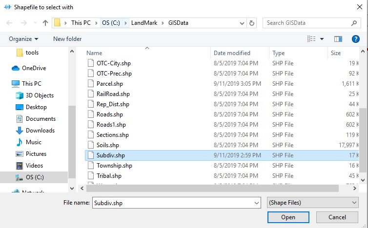
SELCT Open
Once opened the user will be prompted for the selection preferences.
SELECT Okay
This will select every parcel in that intersects with the subdivision layer and create a list that the user can export, print, or run as an index in LandMark.
Step by Step:
1. Open Map
2. Tools
3. Select By Shapefile
4. Select Shapefile
5. Open
6. Choose selection option and press “OK”
Feedback
Copyright © 2025 LandMark GSI
—
Powered by 
Post your comment on this topic.