
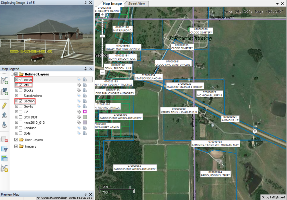
There are three folders in the Map Legend
- Defined Layer will allow ALL users to see the new layer. The map in MapAnalyzer can be viewed in layers, either one or many stacked at a time.
- User Layer will only show on the SPECIFIC user’s map that is uploading the shapefile.
- Imagery is an image-based layer like google hybrid, pictometry etc…

Viewing Layers
Users may choose what layers display on the map.
Example of map layers are: Parcel, Soil, Subdivision, Blocks, Lots, Sections, Land Use etc.
Categories can be created for layers such as the Use and Soil Layers to differentiate between the various types.
CHECK box next to each layer(s) to view on the map in order to select polygons, lines or points in that layer. This makes the layer is visible on the map.
If the box does not have a check mark in it the layer is not visible on the map.
Feedback
Copyright © 2025 LandMark GSI
—
Powered by 
Post your comment on this topic.