
The Skew Option was added into the COGO input to correct the polygon when the provided section line calls and the survey are off. With input, it can calculate the difference between provided calls and the section lines and the system will line those up.
This is a silent video, that shows the process.
Step by step instructions.

The following guidance assumes the following:
- User has added metes and bounds by COGO.
- The polygon added is closed but skewed.
- Section layer is defined under Editor Preferences

CLICK the Calculate button in the Cogo Input box.

The Calculate Sections Skew box will open.
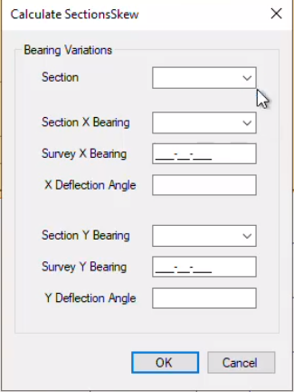
Use down-arrow to SELECT the Section you are working in.
Use down-arrow to SELECT the X axis call from section (East & West)
 There are two calls in the Section X Bearing drop-down that are similar and going the same way (Ex: N89-59-55E and N89-34-18E). Which do I choose? Go here for the answer.
TYPE-IN the call on the survey
Use down-arrow to SELECT the Y axis call from section (North & South)
TYPE-IN the survey’s call
If you are working in a subdivision, write these number down and use those for the lots so you don’t have to calculate every time.
CLICK OK
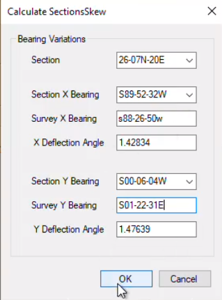
This will calculate how far off the lines are and skew/rotate the polygon into the correct position.

CLICK the Apply Button ![]()
Once user applies the shape, they can’t go back and correct it.
Continue editing this layer? NO
The edit shape attributes box will open. CLICK Close
Post your comment on this topic.