
Land Use Editing Tools
To Edit Land Use Layer Use Google Hybrid or similar tile.
If a county is just starting to map their land use, SAVE the Section layer and RENAME it LandUse and set the attributes to the most common.
There are four Land Uses in Oklahoma: Crop, Native Pasture, Improved Pasture and Timber.
FIND the Account to map
IN Map legend (with mouse)
CLICK to highlight Land Use Layer
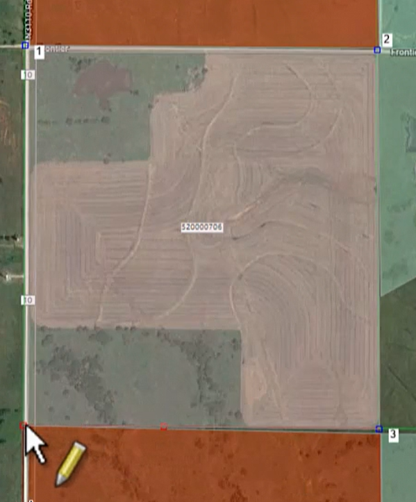
CLICK pencil to enter Edit Mode
CLICK Add  to begin defining area
CLICK to drop points
Helpful Hint: If the parcel has several different land uses, map the entire parcel under the largest/most predominant use, then split/define the others out. This ensures the entire area is covered.
Ctrl Z to erase a dropped point
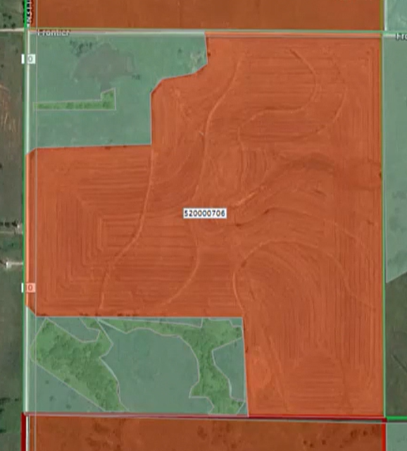
Ctrl CLICK to close polygon
Edit Shape Attributes box will pop up
CLICK down arrow
CHOOSE Use (Crop, Native Pasture, Improved Pasture or Timber)
SAVE

CLICK APPLY after each area is defined
CLICK Yes to Continue editing the layer

DEFINE another area.
REPEAT until all land is defined
APPLY to save
CANCEL to get out of edit mode.
After mapping the Land Use, user may view/print an Ag Land Summary to see if the Land Use populates correctly.
To add Land Use by keyboard see Add by Keyboard
Post your comment on this topic.