
Land Use Editing Tools
To Edit Land Use Layer Use Google Hybrid or similar tile.
There are four Land Uses in Oklahoma: Crop, Native Pasture, Improved Pasture and Timber.
FIND the Account to map
IN Map legend (with mouse)
CLICK to highlight Land Use Layer
CLICK pencil to enter Edit Mode
CLICK Add  to begin defining area
CLICK to drop points
Helpful Hint: Define the first area/section with the predominant use, then go back in that area to define other uses. This ensures the entire area is covered.
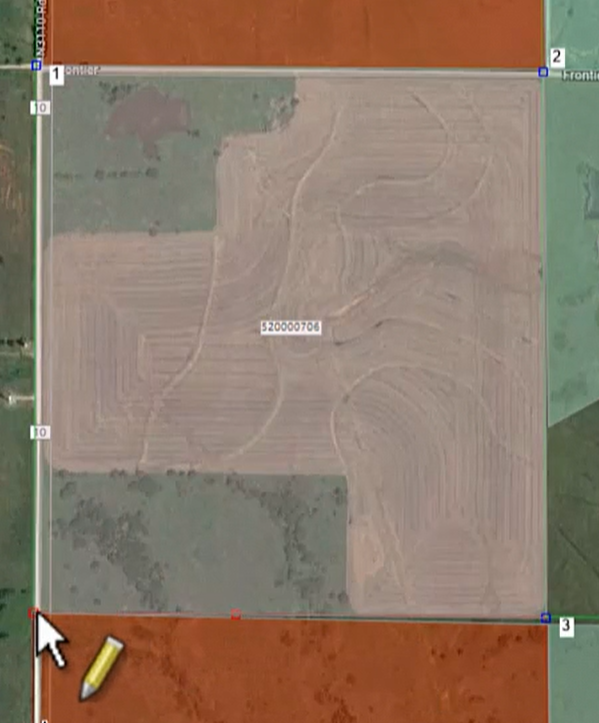
Ctrl Z to erase a dropped point
Ctrl CLICK to close polygon
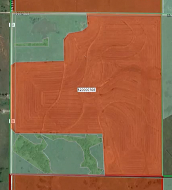
Edit Shape Attributes box will pop up
CLICK down arrow
CHOOSE Use (Crop, Native Pasture, Improved Pasture or Timber)
SAVE

CLICK APPLY after each area is defined
CLICK Yes to Continue editing the layer

DEFINE another area.
REPEAT until all land is defined
APPLY to save
CANCEL to get out of edit mode.
Adding Pivots, Acre Square or Homesites (For Oklahoma counties, this isn’t necessary.)
When editing Land Use, MapAnalyzer allows the user to add pivots for cultivated land, and an acre square or circle for homesites, or add by keyboard.
SELECT Land Use in the Map Legend,
RIGHT-CLICK and select edit layer.
Pivot Example:
In Edit mode:
SELECT on the Toolbar
RIGHT-CLICK in the center of the pivot
SELECT Add Shape, Pivot.

A red mark will appear in the center of the pivot.


CLICK on the outer edge of the pivot to drop the first point.
CLICK TWICE To make a full circle
User can create a pivot of any size or fraction by dropping the second point on the outer edge in a clockwise direction.


When the user has drawn the pivot:
CLICK ![]() on the tool bar.
on the tool bar.
An attributes table will appear.
SELECT the USECODE for the pivot
CLICK save.


To add an acre square or acre circle repeat the steps above.
To add Land Use by keyboard see Add by Keyboard
Post your comment on this topic.