
 In some cases labels may appear jumbled or incorrect.
To refresh labels:
OPEN map.
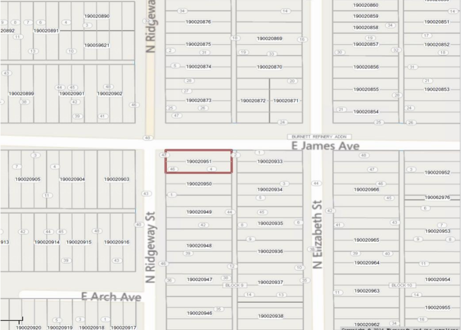
For this example the Lot Labels do not lie in the center of the polygon.
CLICK on the ![]() next to the Lot Layer. This will open the label style for the Lot Layer.
next to the Lot Layer. This will open the label style for the Lot Layer.
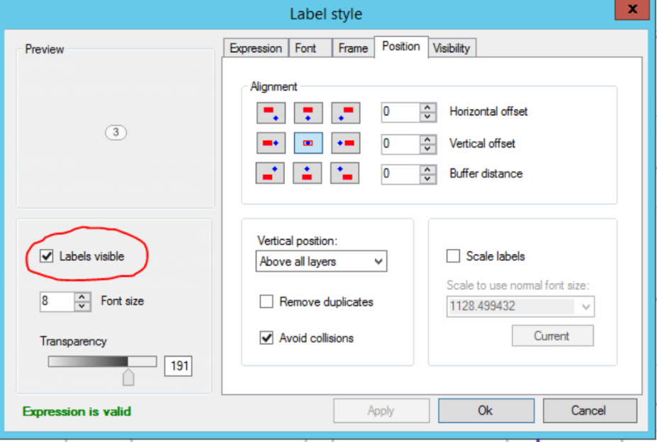
UNCHECK “Labels Visible”
SELECT Apply
A box should appear with position options.

Center: center of the polygon. Note: if the polygon is an irregular shape the label may not be contained in the polygon.
Centriod: attempts to keep label in center of polygon but may adjust to avoid collisions.
Interior Point: the label will be contained in the polygon. This is a great choice for irregular shapes. Recommended for soil layers.
SELECT Okay. Recheck labels visible and apply. This will correct the labels to center. This will also correct parcel labels that may not read correct data.
SAVE the current map state by clicking the save icon ![]() in the left corner of map.
in the left corner of map.
If the above steps do not work to re-center the labels, try these steps below.
RIGHT-CLICK on layer
CHOOSE Clear Labels File
CLICK on the ![]() next to the lot layer. This will open the label style for the lot layer.
next to the lot layer. This will open the label style for the lot layer.
SELECT CLEAR AND APPLY Under the expressions tab.
ADD the expression back
SELECT APPLY
CHOOSE the position of the label
SELECT okay
Some counties may need to check or uncheck the avoids collisions under positions to make labels appear at all times.
If none of the above work. Close out of MapAnalyzer and go back in.
Post your comment on this topic.