
Helpful Hint: When user makes changes in the Ag Land Table, it DOES NOT change the land values in the Land Data Tab. User must make an Index for parcels affected by the particular change, while in the Index go to Tools — Recalc File and that will apply the updated changes to the Index.
Ag Land values can be used in conjunction with Lot Value Models (if ag land soil types are showing at the bottom of the Residential Appraisal Land Data tab).
To view or edit the Ag Land Table from the main screen, go to
Appraisal — Land Tables — Ag Land Tables

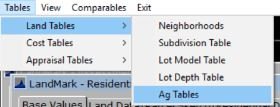
From the appraisal record, go to
Tables — Land Tables — Ag Tables
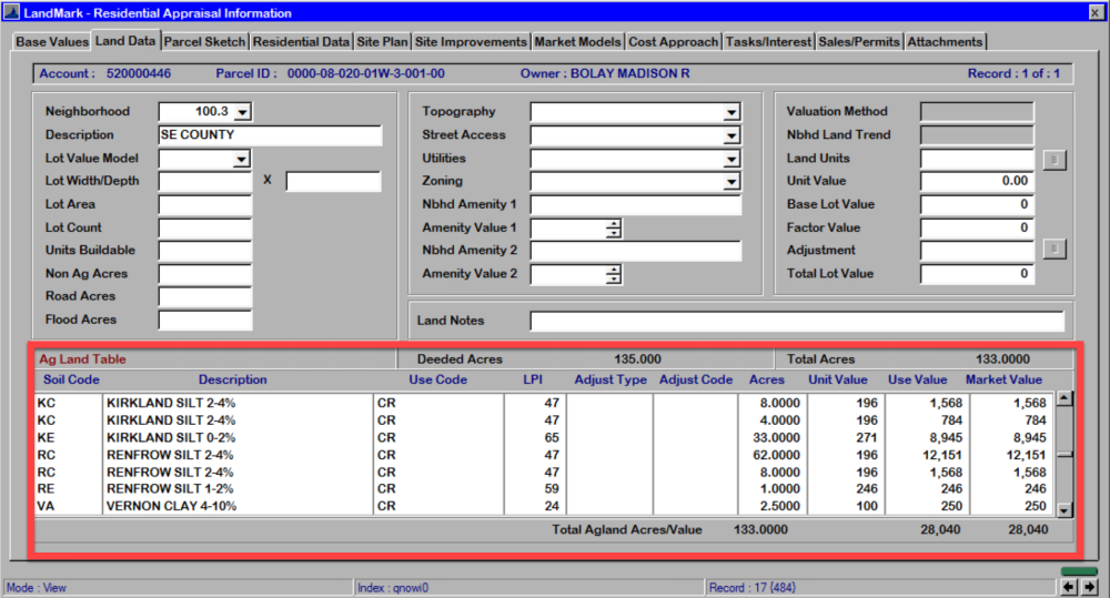
The Ag Land Table will open.
The adjustments from this table will show up at the bottom of the the Land Data tab in the Residential Appraisal File.
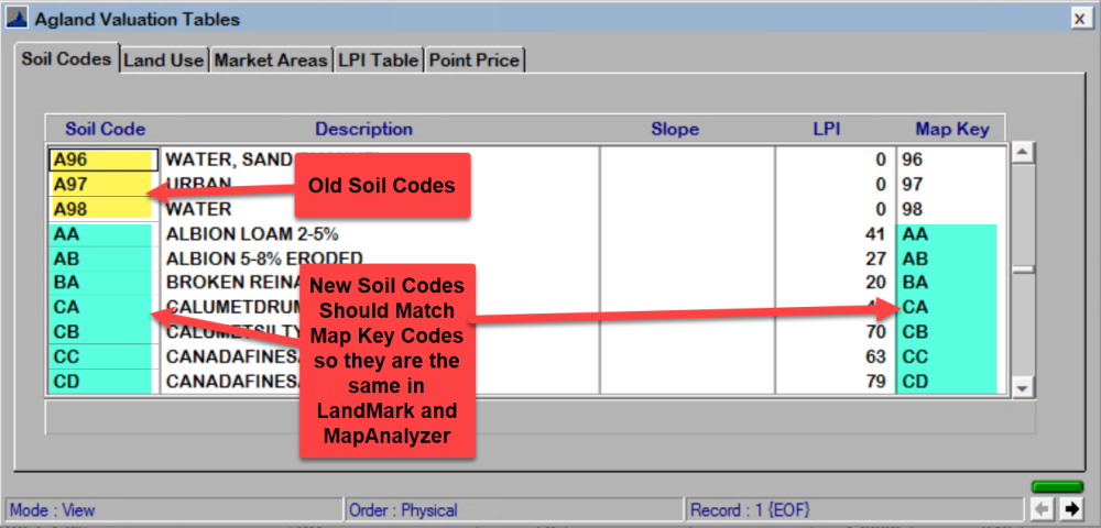
- Soil Code: This is a list of Soil Codes and the description, these codes are provided by the state and are unique to the county.
- Land Use: This is a list of Land Use within the users county.
OTC only wants four use codes: Crop, Improved Pasture, Native Pasture and Timber. Other land uses such as: water, road, building site, etc… should be adjusted for from a Lot Model Table defining and adjusting for non ag use.

- Market Areas: Users can see Market areas and Market Factors associated on certain Ag Land,

- LPI Table: County Land Productivity Index, these values are defined by the state.

- Point Price: A list price per point on certain Land Use.

Post your comment on this topic.