
QP6 – Is the County’s Primary Mapping Software up to date with the most recent Municipal and School District Boundaries. (68OS 2815.2) The A & E will request 2 maps: 1. One of an entire municipal boundary within the County 2. One of a section map in which the section is divided by two school districts within the County… (Copied from the 2023 Performance Audit Updated July 12, 2023)
How to Print a Municipal Map
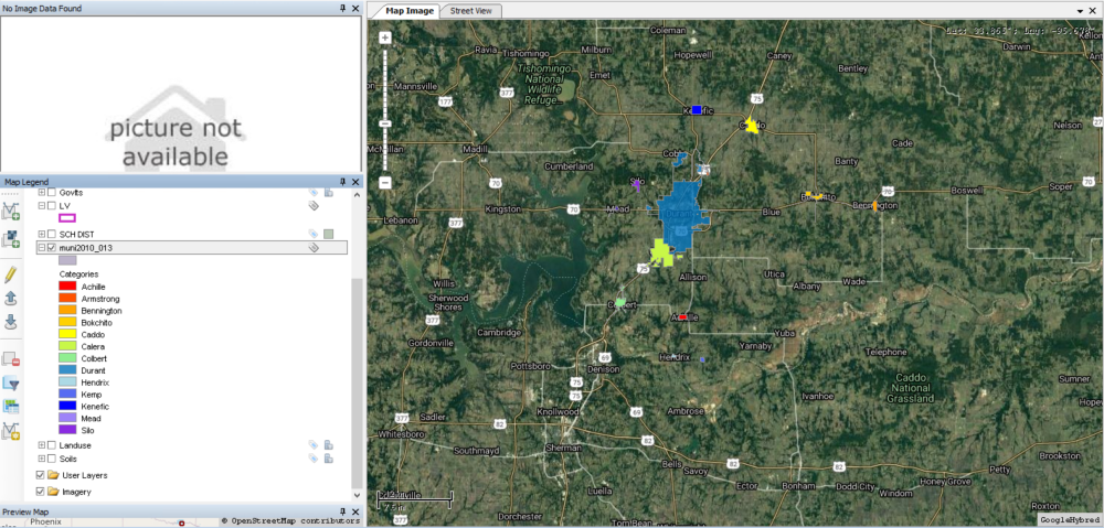
Open MapAnalyzer
1. Small Town (Muni) layer must be downloaded, imported, color-coded and appear as a layer in the Map Legend.
CHECK the Muni layer only, so only that layer appears on the map.
2. The Small Towns must be labeled.
To add name label:
CLICK on the Muni layer (will highlight gray).
CLICK the pencil to enter edit mode
CLICK the label for the Muni
CHOOSE CITYNAME for the expression

CLICK Apply and OK to Centeriod and OK again
The town names should appear.
CLICK cancel to exit edit mode.

3. Print Map Page
CLICK Print — Map Page
The map page pdf will open.

User may print, convert to word doc or pdf, name the map image and save.
How to Print a School District Map
Open MapAnalyzer
1. School District layer must be downloaded, imported, color-coded and appear as a layer in the Map Legend.
CHECK the School District layer only, so that only that layer appears on the map.

2. The School District’s name must be labeled.
To add name label:
CLICK on the School District layer (will highlight gray).
CLICK the pencil to enter edit mode
CLICK the label for the School District
CHOOSE SD NAME for the expression

CLICK Apply and OK to Centeriod and OK again
The school district names should appear.
CLICK cancel to exit edit mode.

3. Print Map Page
CLICK Print — Map Page
The map page pdf will open.

User may print, convert to word doc or pdf, name the map image and save.
Post your comment on this topic.