
QP17 – Ag land Value Correctly Applied and Updated (68OS 2817 C) The Assessor shall provide five Ag land Summary Maps from the System showing the Soil Type, Land Use, an Valuation for five Vacant Agricultural Accounts between 40 and 160 Acres from the previous VI Year to include samples from the current year equalization study. The A & E shall accompany a member of the Assessor’s Staff to verify Ag Use classification as Native Pasture, Improved Pasture, Crop, or Timber/Waste. If a Court has allowed use of other Methodology, that must be taken into account with the scoring of this question. (Copied from the 2023 Performance Audit Updated July 12, 2023)
RUN an Index
Parcel Status: >0
Parcel Size: 40..160 (first box) Acres (second box)
Appr Zone: 2 (use the previous VI Year number)
Open MapAnalyzer.
CHOOSE parcel
CLICK Tools and Agland Summary
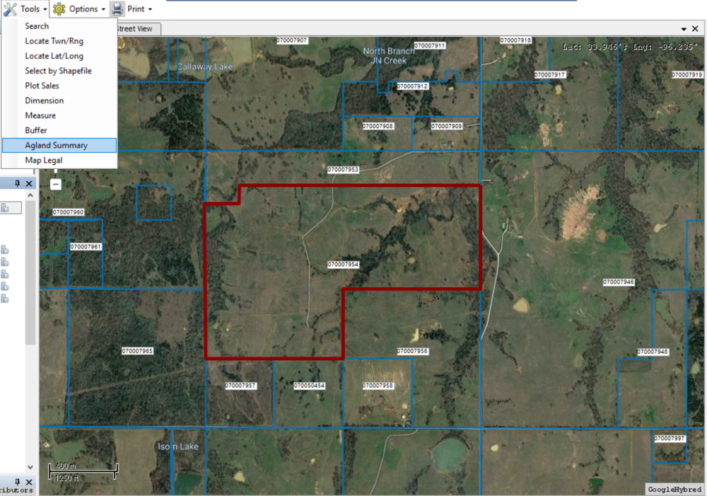
The Agland Summary for that account will open.
CLICK the Print button.
The GIS Ag Land Soil/Use Summary will open.
User may print, convert to word doc or pdf, name the pdf and save.


Post your comment on this topic.