
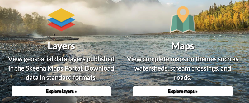
In the Skeena Maps portal, spatial data are displayed as layers and maps. A layer is a single spatial dataset with a single theme and geometry, while a map is a collection of two or more layers.
Types of layers include:
- Rasters – grid-based coverages;
- Vectors – features based on vertices and paths. Vector types include points, lines, and polygons; and
- Remote Layers – layers connected via a live connection from DataBC. Remote layers have set symbology and do not allow for attribute definition or filtering, but are the most up-to-date.
Additional background information on GIS layers is available at GISGeography.
Feedback
Copyright © 2025 Skeena Knowledge Trust
—
Powered by 
Post your comment on this topic.