
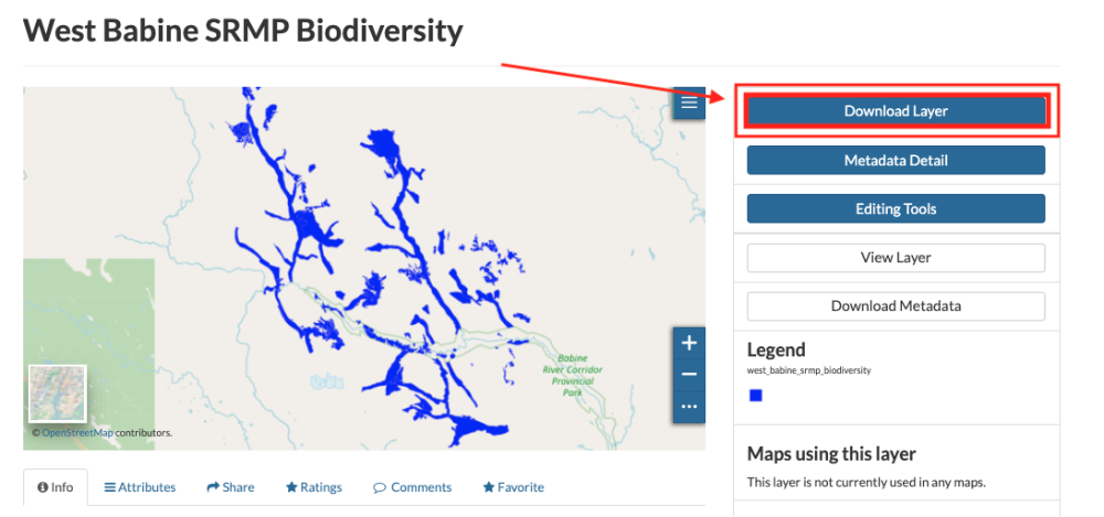
Spatial layers can be downloaded as either as an image of the layer (in jpeg, pdf, or png format) or spatial data (in zipped Shapefile, GML, CSV, Excel, or GeoJSON format). The CSV and Excel formats work best for datasets with point geometry.
To download an image or spatial data file, click on the Download Layer button on the layer page and select the desired format under the Images or Data tabs. The file should be downloaded automatically. To download an image of the layer with the background map and legend, see Print a pdf of a layer or map.

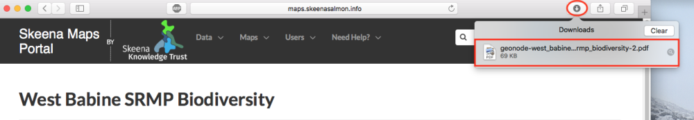
If a preview of the layer does not appear on your screen, select the download button on your web browser page and select the file.
Feedback
Copyright © 2025 Skeena Knowledge Trust
—
Powered by 
Post your comment on this topic.