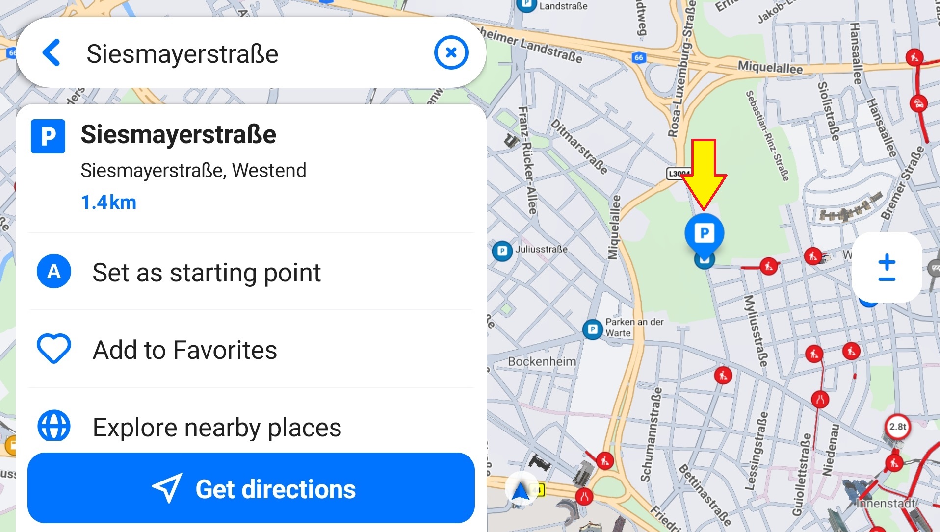
Points on the map represent places from different categories (e.g., fuel stations or restaurants). Each category has its own color and icon. However, you can tap anywhere on the map to select any location, even if it’s not a marked place.
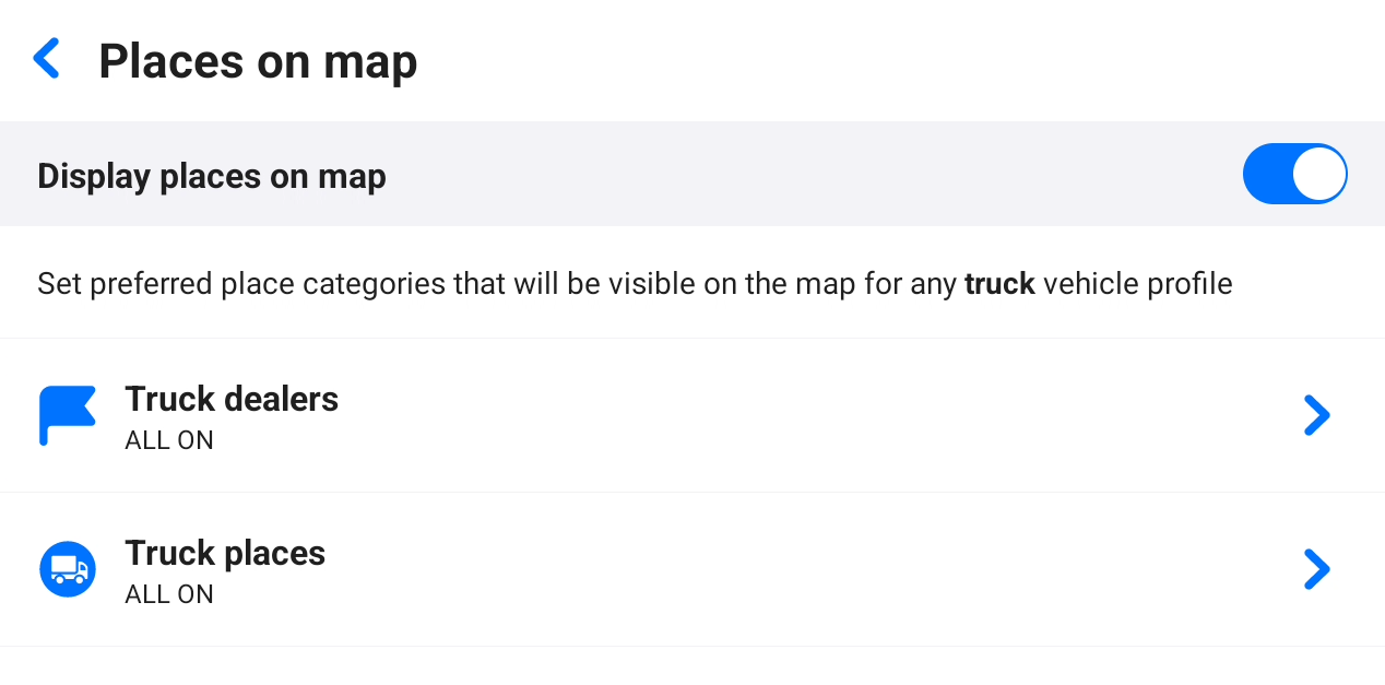
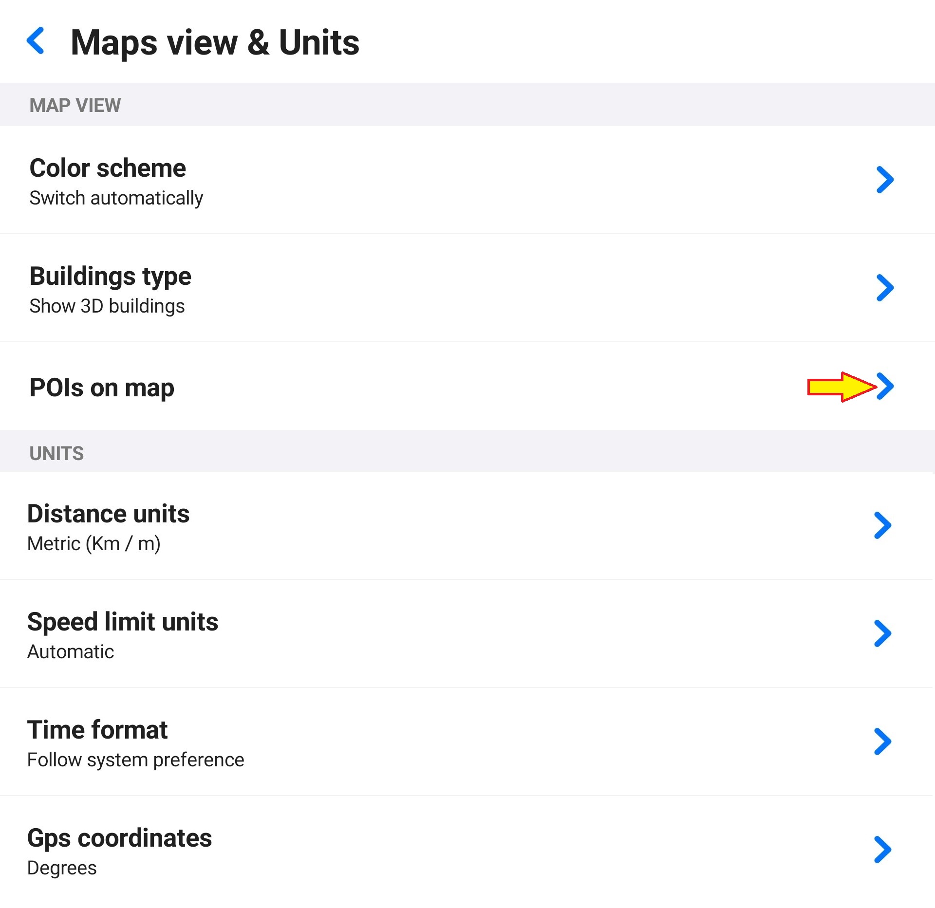
To select which categories should be visible on the map, go to Menu – Settings – Map view & Units – Places on map. Use the toggles to turn each category on/off, or hide all places by turning off Display places on map at the top.
The changes are applied to the currently chosen type of vehicle profile, for example, to all your current and future truck profiles. So, if you switch to a bus vehicle profile, the default values are used. This way, you can specify which places should be visible while using a truck vehicle profile and which places to see on the map while using a bus vehicle profile.
The visible categories are listed under their category group.