
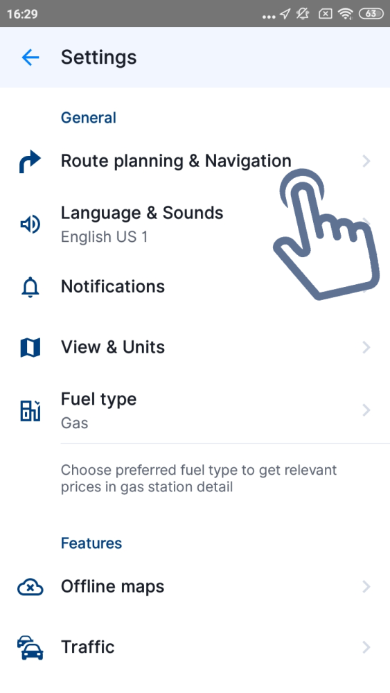
By tapping on Main menu → Settings → Route & Navigation you can adjust what type of Route computing algorithm should be used:
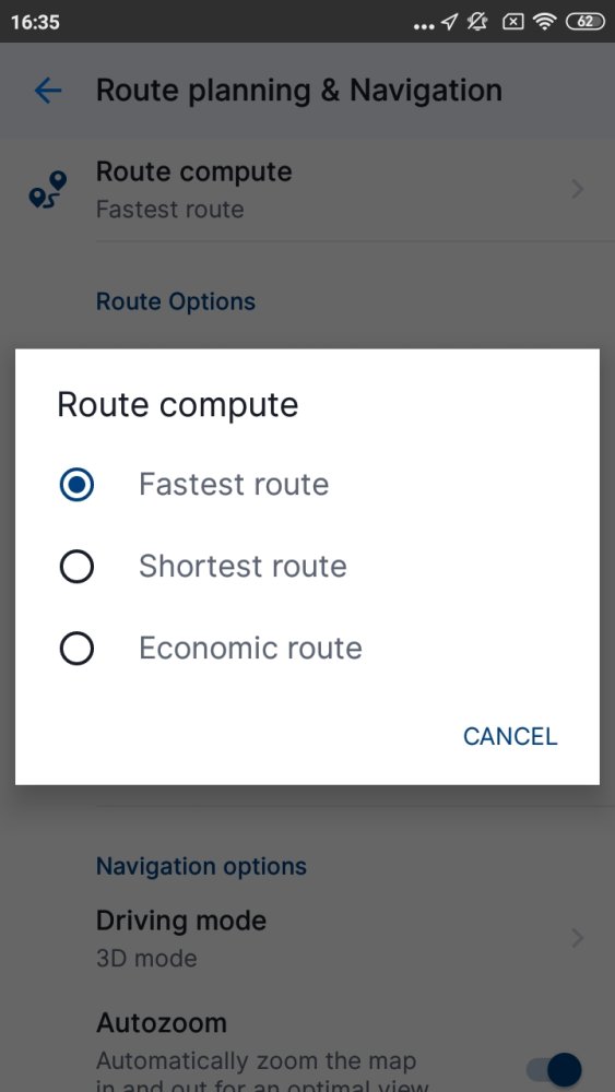
- Fastest – route will take the least amount of time
- Shortest – routing will prefer the shortest distance to your destination
- Economic route – route which should result in the lowest fuel consumption, with as little turns as necessary.
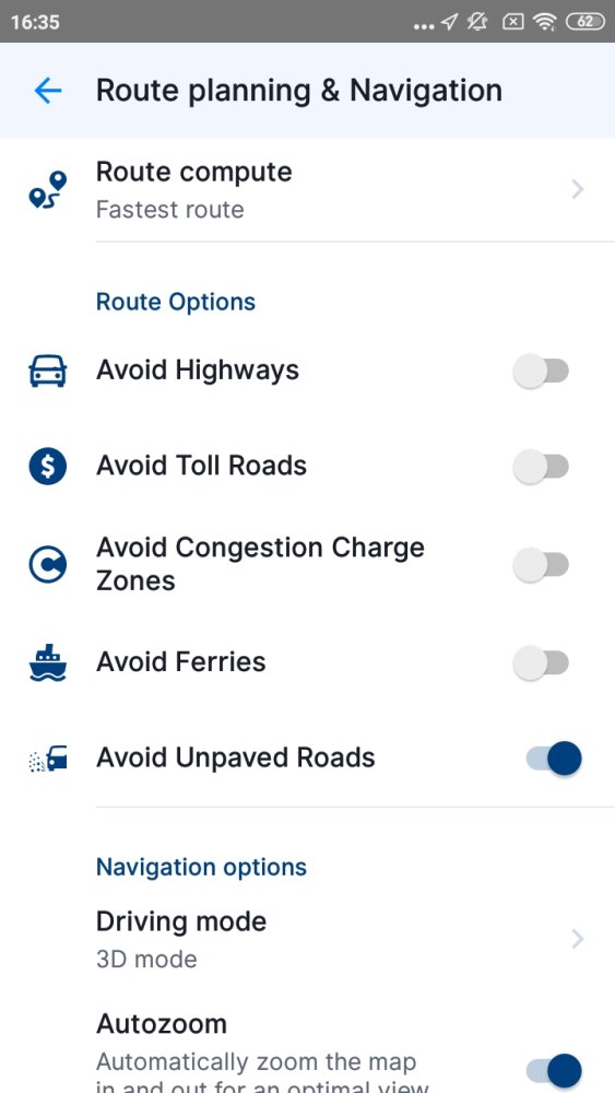
You can enable/disable various road types to be used when computing your route:
- Avoid Highways
- Avoid Toll Roads
- Avoid congestion charge zones
- Avoid Ferries
- Avoid Unpaved Roads
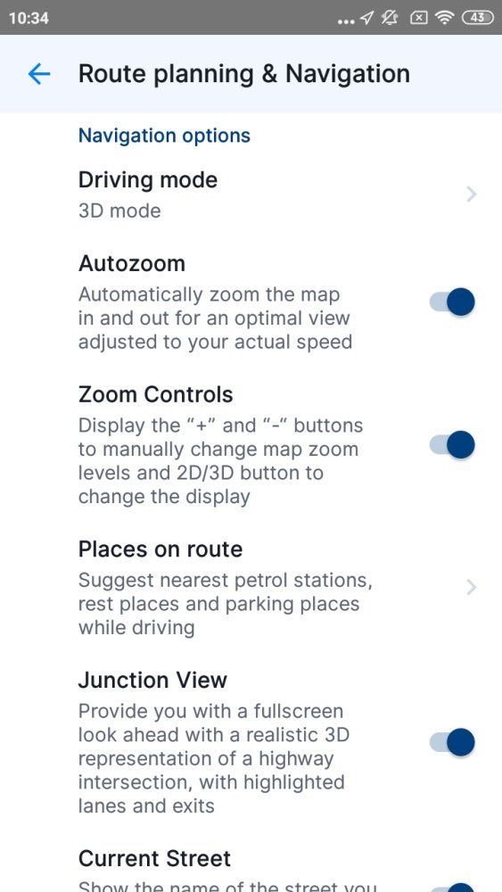
When you scroll down the screen, you will see these navigation options:
- Driving mode – Select between 3D mode, 2D mode, or 2D mode with north up
- Autozoom – Automatically zoom the map in and out
- Zoom Controls – Display the “+” and “-” button to manually change zoom levels and 2D/3D button to change the display
- Places on route – this setting allows you to modify displaying of places (points of interest) in the notification center on the left edge of the map screen while navigating. You can toggle the switch to turn this feature on/off, or tap on “Categories” to pick which category of Places you want to be displayed on your route.
- Junction View – enable/disable a realistic 3D representation of highway intersection
- Current Street – Show the name of the street you currently drive on
- US compass appearance – Change the appearance of the compass to a US look while driving
- Picture in picture navigation – Enable/disable showing a small screen with navigation pinned to a corner of the main screen (please note that this settings is available on devices with Android OS 8 and higher)
Comparte tu opinión sobre este tema.