Traffic information is a service that provides you with faster route suggestions when there are delays due to traffic on your route.
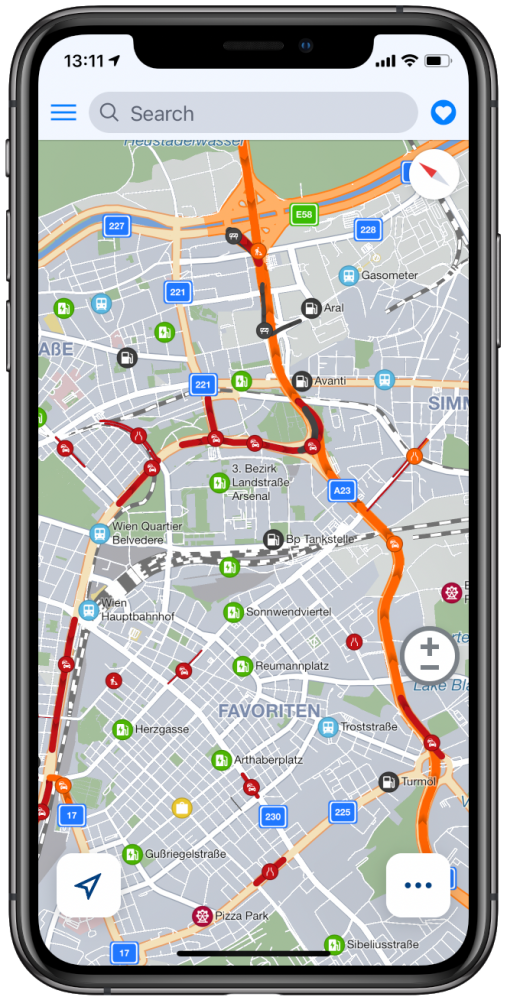
When you look at the map, the red and yellow lines indicate heavy and light traffic. Black lines indicate road closures. In some cases, you can also see green lines, which means there’s some incident on the route (e.g. road works), but there’s no delay. When you plan your route, the app will find the best way to avoid traffic.

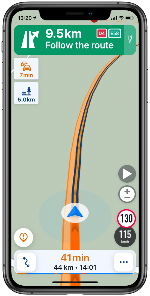
While navigating, warnings about traffic will pop-up on the left side of the screen, and if a better route is found which avoids traffic it will offer to change the current route via a button in the lower part of the screen.

Traffic is an online service, it requires an active internet connection to work. The amount of data consumed by the traffic service varies and depends on the time of day (more during the morning or afternoon rush hours), the number of countries you have downloaded, the number of incidents around you in general (less in rural areas). Depending on these factors, the data usage will usually be in the 1-10 MB range, per hour.
Coverage:
Asia:
Hong Kong, India, Indonesia, Macau, Malaysia, Singapore, Taiwan, Thailand
North America:
Canada, Mexico, United States
South America:
Argentina, Brazil, Chile, Colombia
Africa:
Egypt, Lesotho, South Africa, Morocco
Europe:
Andorra, Austria, Belgium, Bulgaria, Croatia, Czech Republic, Denmark, Estonia, Finland, France, Germany, Gibraltar, Greece, Hungary, Iceland, Ireland, Italy, Latvia, Liechtenstein, Lithuania, Luxembourg, Malta, Netherlands, Norway, Poland, Portugal, Romania, Russia, Slovakia, Slovenia, Spain, Sweden, Switzerland, Turkey, Ukraine, United Kingdom
Australia:
Australia, New Zealand


Post your comment on this topic.