
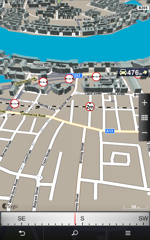
After the truck details are set, safer and more efficient route is calculated to avoid the roads with weithg, lenght, widh, height restrictions, specific cargo restricted roads, tunnels and bridges, as well as sharp turns and narrow country lanes.
Truck restrictions are displayed both in navigation screen and browse map.
| Navigation screen | Browse map |
 |
 |
Hinterlasse einen Kommentar.